Wentworth Falls | Leura | Katoomba | Medlow Bath | Blackheath
Megalong Valley | Mount Victoria
Wentworth Falls
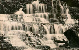
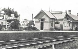
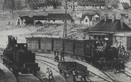
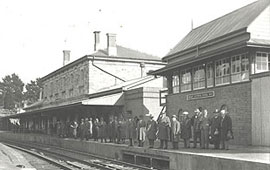
Wentworth Falls was the site of William Cox’s Weatherboard Hut store in 1815 and the Weatherboard Inn from 1827. In 1867 the railway station opened as Weatherboard and in 1879 the name was changed to Wentworth Falls in honour of William Charles Wentworth, the explorer. The word Falls was added to distinguish the town from another Wentworth on the NSW/Victorian border (Fox, pp 299-300).
![Sketch of Wentworth Falls from The Railway Guide of NSW. NRS16407-1-1[6]_[Opp-p41]](/wp-content/uploads/2013/05/NRS16407-1-16_Opp-p41_small.jpg)
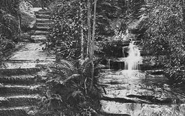
![The Weeping Rock, Wentworth Falls. NRS16407-1-2[43]_p39](/wp-content/uploads/2013/05/NRS16407-1-243_p39_small.jpg)
Jamieson Valley
Jamieson Valley was named by Governor Macquarie after physician and landowner, Sir John Jamison. The Valley is about 12 km long and forms part of the Cox’s River canyon system from Katoomba to the Cox’s River. The area is noted for the steep sandstone cliffs and includes the Ruined Castle, Mt Solitary, Kings Tableland and Wentworth Falls.

Leura
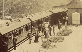
The town was named after close by Leura Falls, which itself was named by Frederick Clissold after his Queensland property (Fox, pp 177-178). The Leura Estate subdivision occurred in 1881 and the railway station opened in 1890.

![Sketch of the Cascade Falls, Leura. NRS16407-1-1[13]_p108](/wp-content/uploads/2013/05/NRS16407-1-113_p108_small.jpg)
![Valley Scene, over Leura Falls. NRS16407-1-1[13]_p106](/wp-content/uploads/2013/05/NRS16407-1-113_p106_small.jpg)
Katoomba
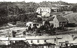
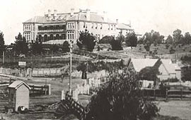
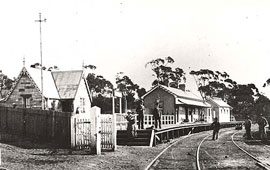
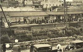
Katoomba is the largest town in the Blue Mountains and is 110km west of Sydney and 39km south-east of Lithgow. The area was known as The Crushers when the railway opened in 1868, due to the nearby quarry. The name was changed in 1877 and is said to derive from a Dharug word kadumba for falling waters. The town developed as a tourist and spa destination with regular trains from Sydney.

Three Sisters
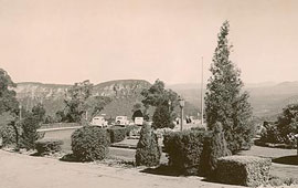
The Three Sisters are three towering rock formations in Katoomba, overlooking the Jamieson Valley. There is some debate as to whether the name comes from an Aboriginal legend or is a European term adopted in the 1880s (See Fox, p.283 for more details).

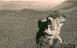
Medlow Bath
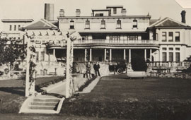
When the railway arrived in 1880 the town was called Brown’s Sidings after Brown’s Sawmill which was located in the town. The name was then changed to Medlow and Bath was added in recognition of Mark Foy’s development of the Hydro Majestic as a hydropath sanatorium in the early 1900s.
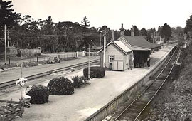
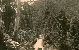
Blackheath
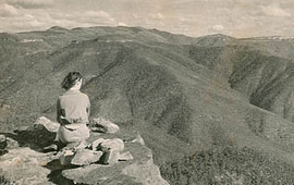
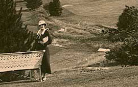
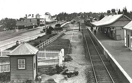
Blackheath was named by Governor Macquarie on his return trip from Bathurst in 1816 and is a reference to the dark-coloured heath growing in the area. There was a convict stockade operating from about 1844 to 1849 when it became a mounted police station. The railway station was opened in 1869.

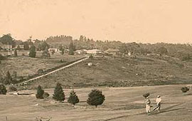
Govetts Leap – Blackheath
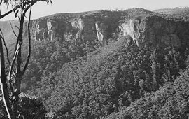
Govetts Leap is a lookout over the Grose Valley. It was named after William Govett, assistant Surveyor General who surveyed the area in June 1831. Evans Lookout is an alternative vantage point to view the same valley.
![Sketch of Govetts Leap NRS16407-1-1[6]_[Opp-p56]](/wp-content/uploads/2013/05/NRS16407-1-16_Opp-p56Govetts-Leap_small.jpg)
Megalong Valley
Megalong Valley is located west of Katoomba Valley and includes the Six Foot Track, a horse and carriage track cut out in 1884 by William Marshall (Surveyor of Public Parks), a nineteenth century bridle path from Katoomba to Jenolan Caves. The word Megalong is derived from an Aboriginal word thought to mean “valley under the rock”.

Mount Victoria
This area was originally known as Broughton’s Waterhole and One Tree Hill (the highest point in the region), both popular spots for stopovers on the trip to and from Bathurst. In 1849 a toll operated at Broughton’s Water Hole. By the time the railway station opened in 1869 it was decided by Governor Belmore to rename the town Mount Victoria, in honour of the Queen.

![The Imperial Hotel, Mount Victoria. NRS16407-1-1[5]_[Opp-p52]](/wp-content/uploads/2013/05/NRS16407-1-15_Opp-p52_small.jpg)
![Advertisement for the Grand Hotel, Mount Victoria. NRS16407-1-2[43]_p80](/wp-content/uploads/2013/05/NRS16407-1-243_p80_small.jpg)
References
NRS 16410 Blue Mountains Shire brochure
Brian Fox, Blue Mountains Geographical Dictionary, Brian Fox, 2006
Geographic Names Board of NSW: http://www.gnb.nsw.gov.au/name_search
Brian and Barbara Kennedy, Sydney and Suburbs: A history and description, Reed Publishing, 1982
John Low, Pictorial Memories Blue Mountains, Kingsclear Books, 1991
Research by
Suzanne Upton, Archivist Public Access